

Welcome to Geosystem Corporation, where innovation meets precision in the realm of surveying and geospatial solutions. As the Founder, I am privileged to lead a team of dedicated professionals committed to revolutionizing how we understand and interact with the natural and built environments. In today’s fast-paced world, accurate data is the cornerstone of informed decision-making. At Geosystem Corporation, we excel in providing top-tier services in topography, hydrography, bathymetry, oceanography, UAV drone mapping, and LiDAR surveys. Whether it’s exploring the depths of the ocean floor, mapping intricate terrains, or delivering advanced UAV solutions, our mission is to empower industries with actionable insights that drive progress. At Geosystem Corporation, we go beyond data collection—we provide clarity and confidence. Our expertise enables industries to plan, build, and grow with assurance. From governments and infrastructure developers to environmental researchers and private enterprises, we proudly serve a diverse global clientele. Thank you for entrusting us with your projects and aspirations. Together, let’s shape a smarter, more sustainable future. Thank you.
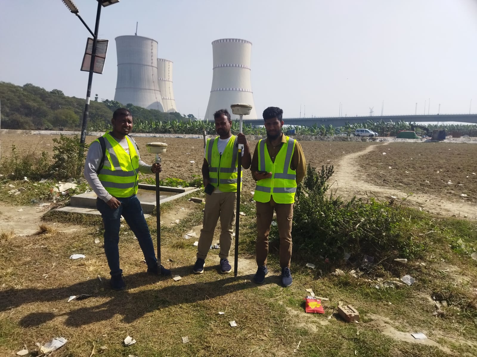
Topography Survey
- Traverse Survey
- High Precise Leveling
- Detail Feature Survey
- Route Survey
- Road Cross section
- Road Long Section
- Map preparation
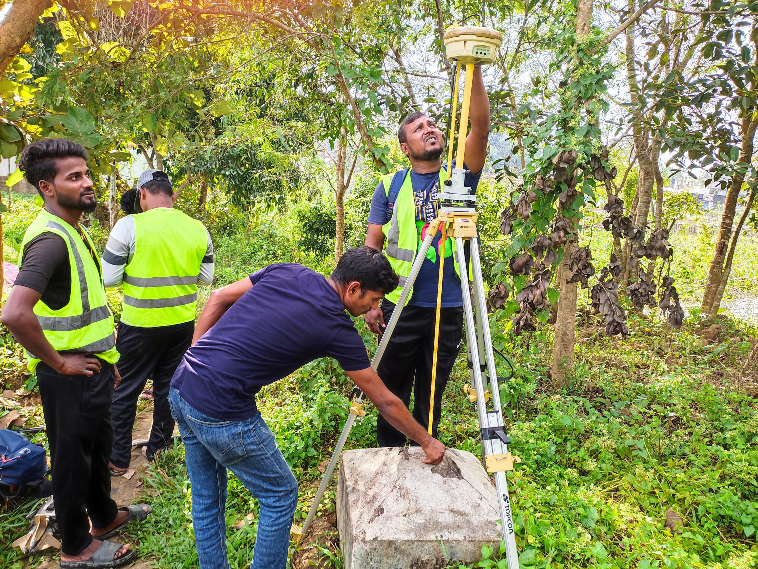
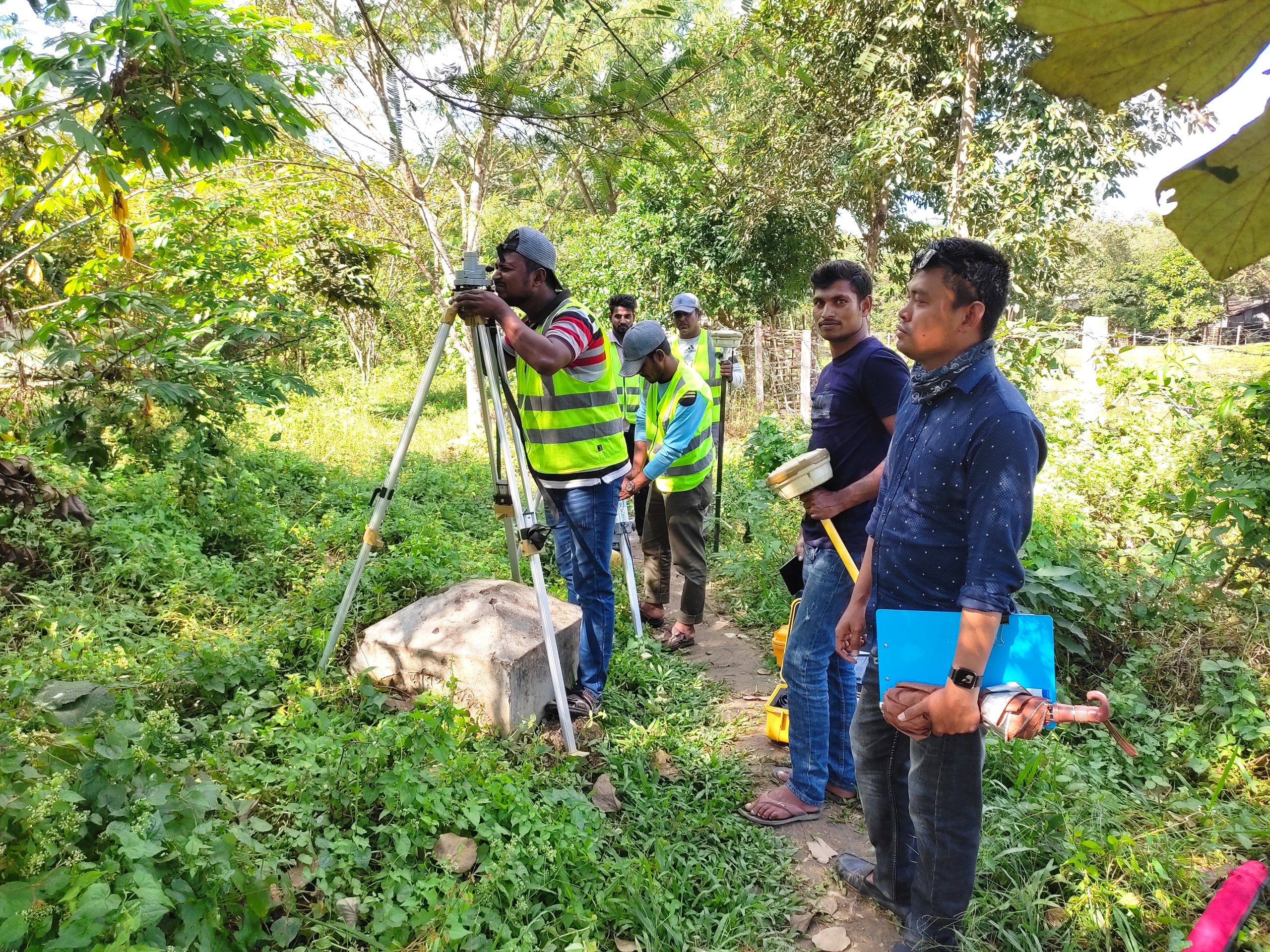
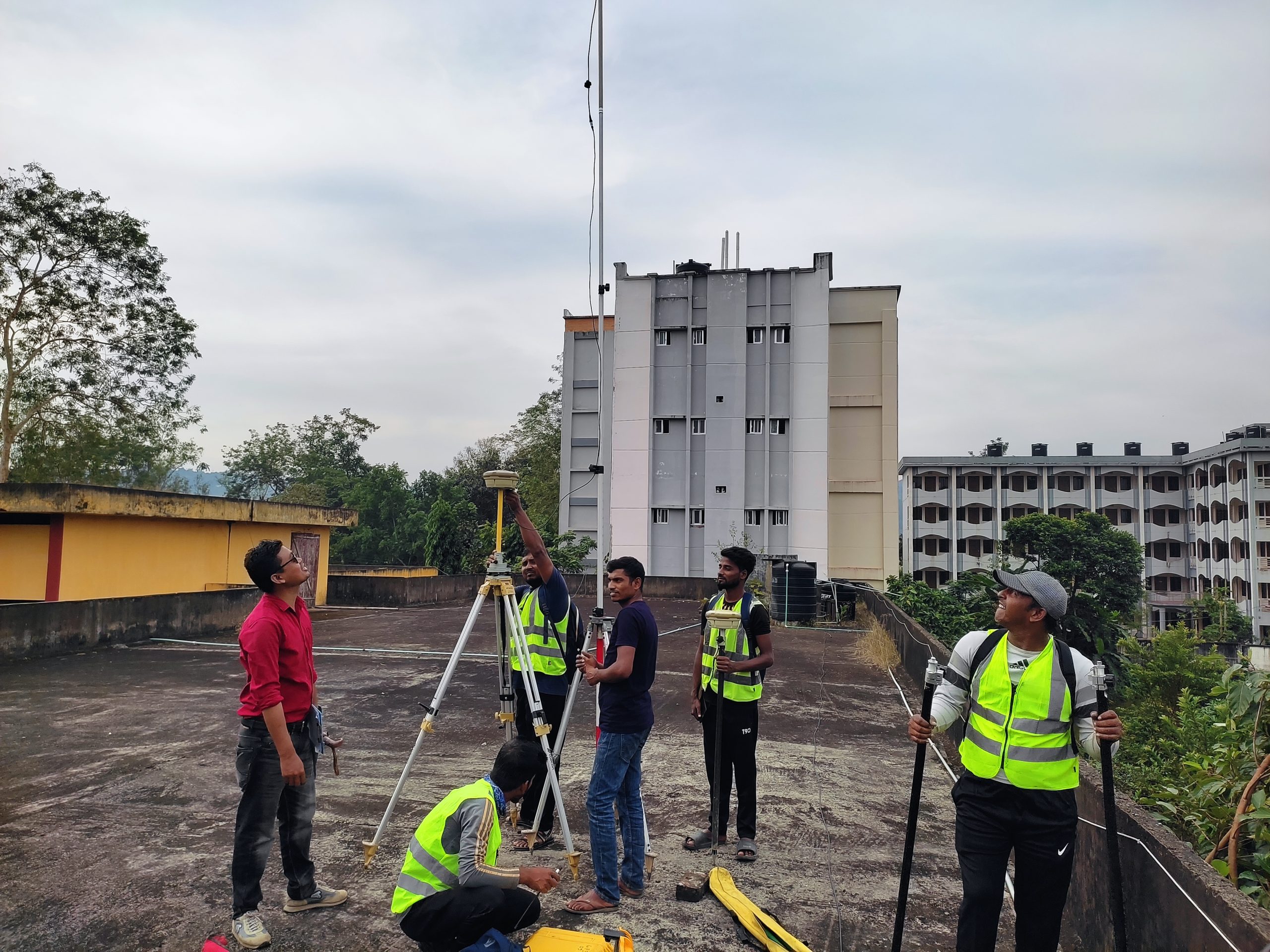
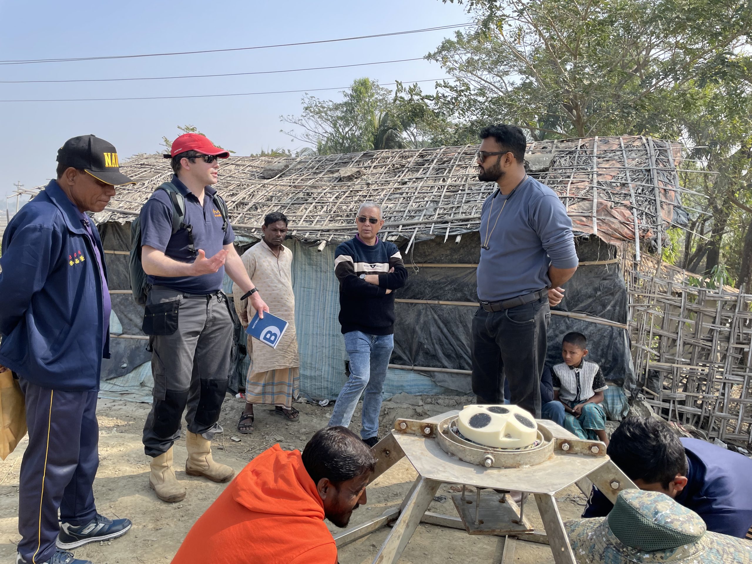
Geodetic Survey
- Control Points Report
- National Control Points Coordinate Table
- Control Network adjust
- Datum Transformation
- Horizontal Control Report
- Altitude Report
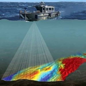
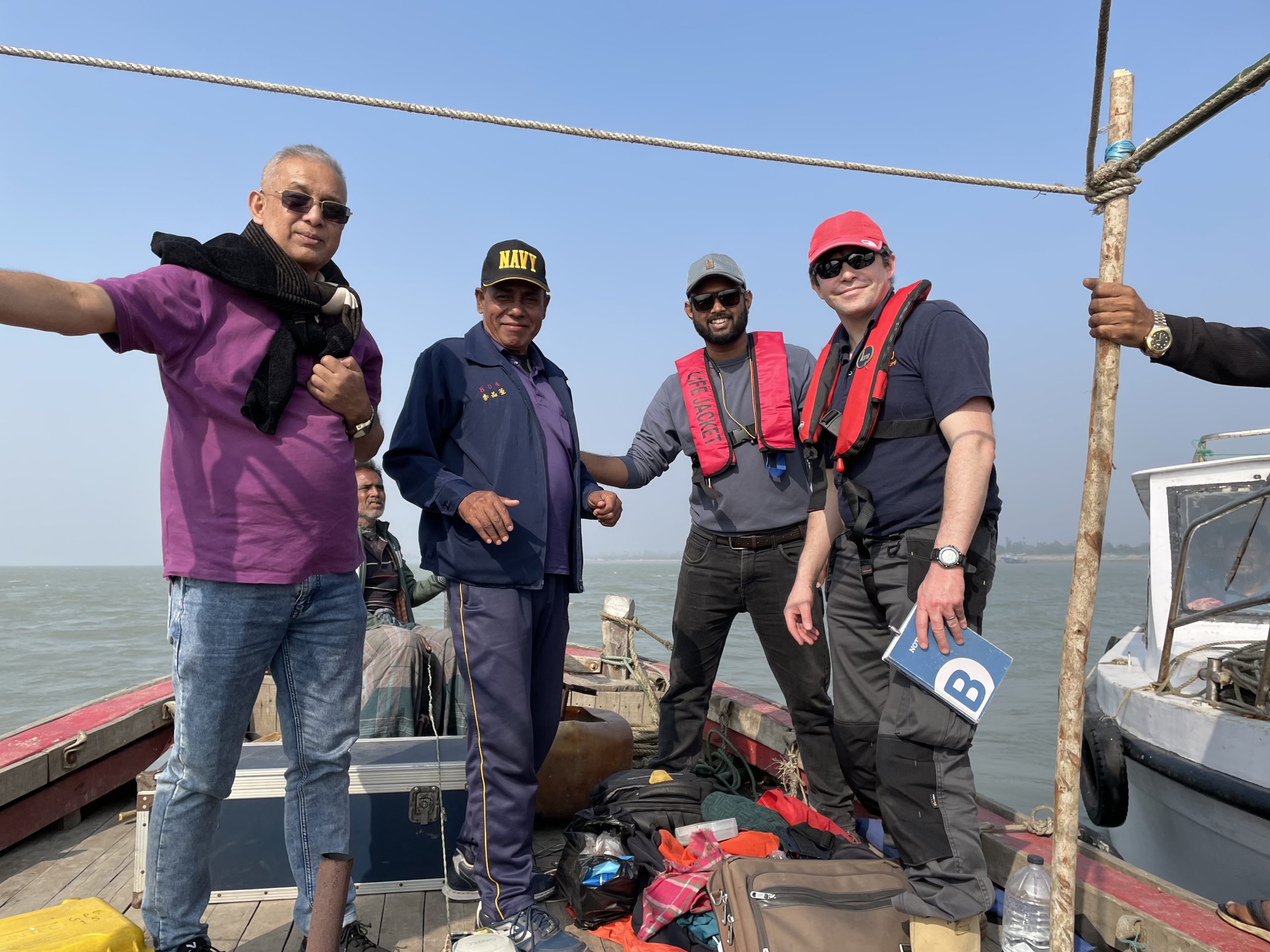
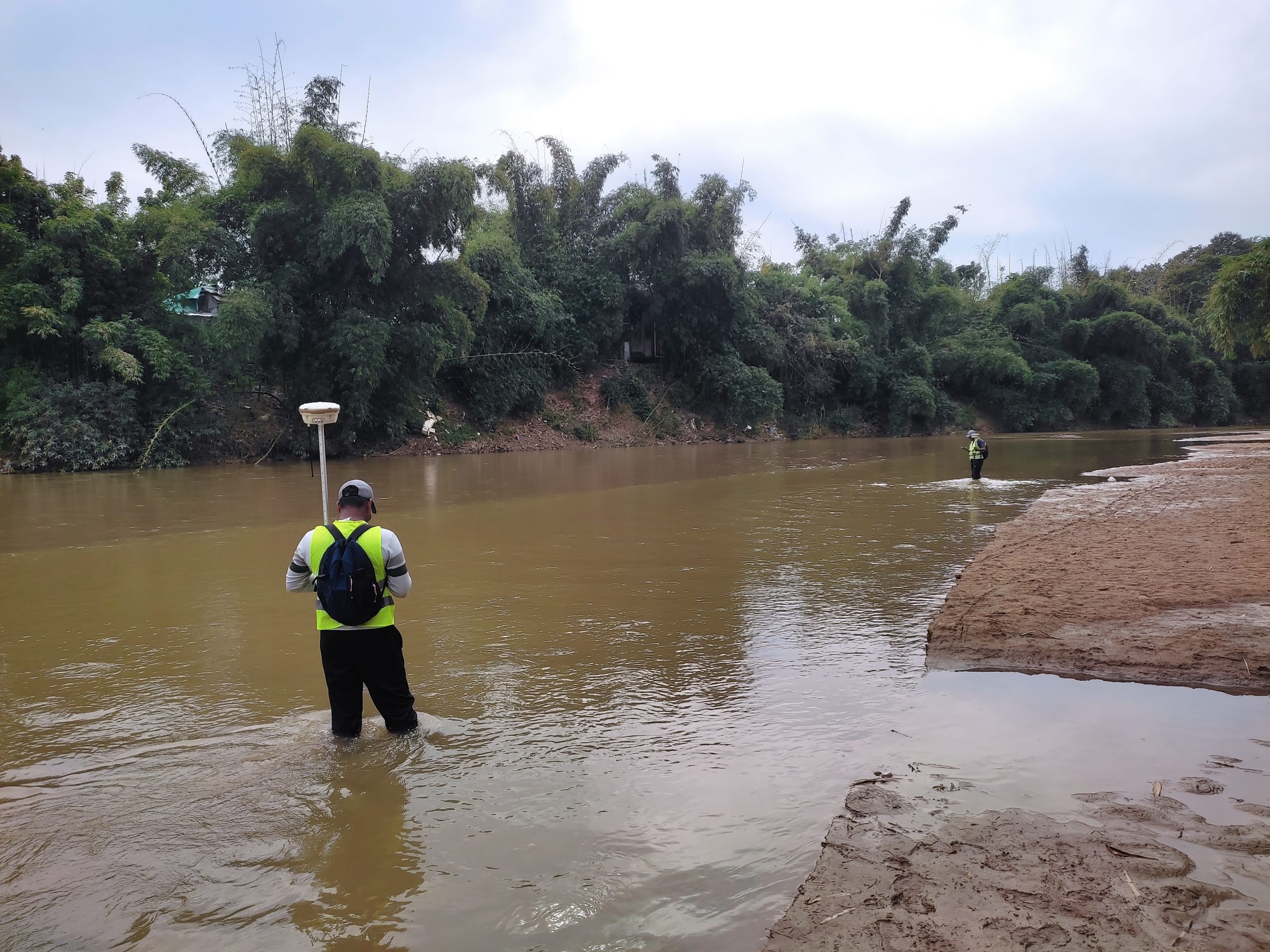
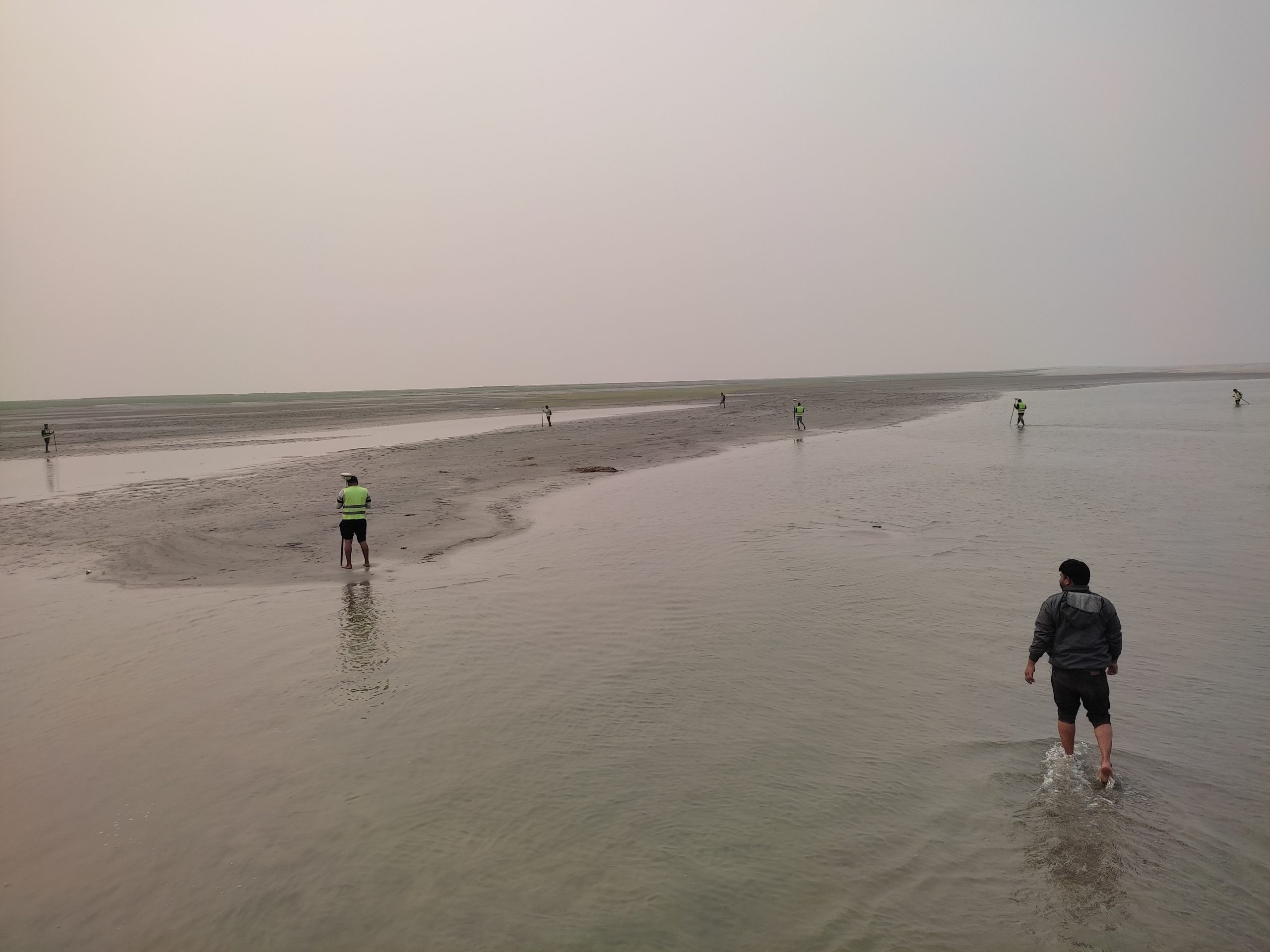
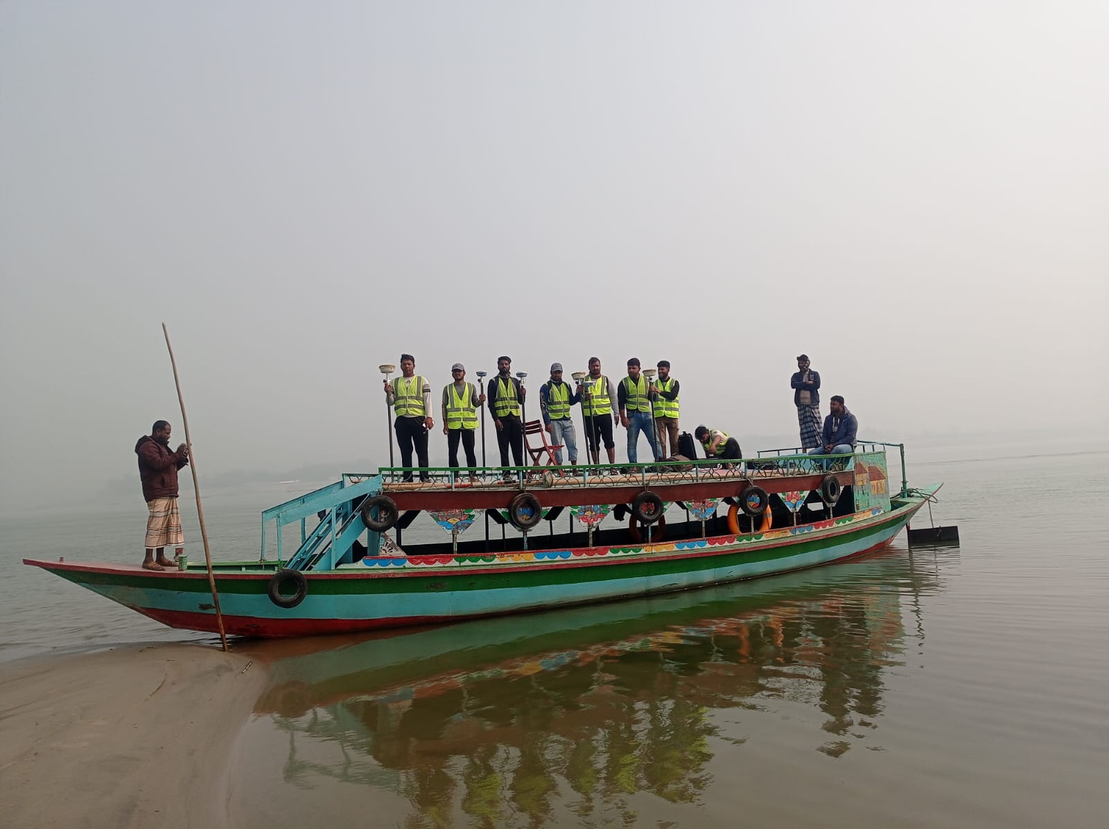
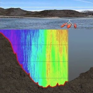
Bathymetry Survey
- River Cross section
- Sand Bar area Grid Point
- Riverbed Topography
- Contour Line
- DEM Preparation
- Dredging Pre and post Survey
- Dredging Volume calculation
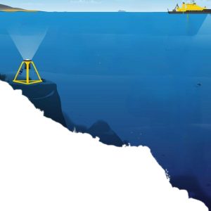
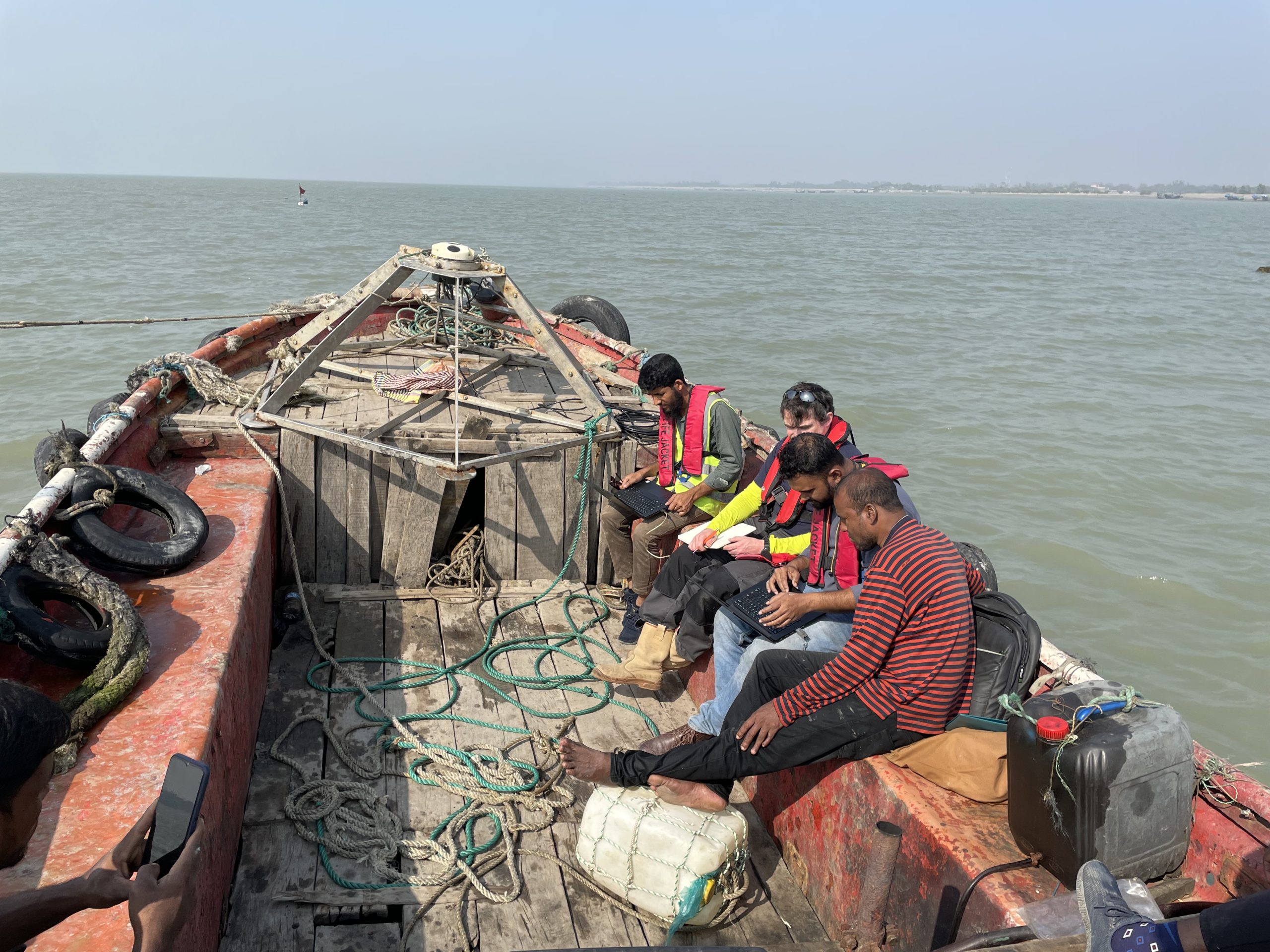
Oceanography Survey
- Wave Measurement
- Tide Measurement
- Current Profiler
- Turbidity
- Salinity
- Temperature
- Grab Sample
- Water Profile
Surface ADCP
- Discharge measurement
- Velocity profiling
- Current Profiler
- Sediment transportation
- Bridge scour analysis
- Flood risk management
- Culvert and channel
design
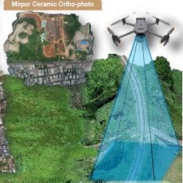
UAV Drone Survey
- Ortho-photo
- Digital Elevation Model
- Digital Surface Model
- Digital Terrain Model
- 3D Digitize
- 2D Digitize